
Tonggak 2 · Dikuasakan oleh Gisify
Spatial Intelligence & Operational Resilience
Move beyond maps. Connect location, assets, field operations, AI analytics and secure workflows into enterprise decision intelligence.
Explore GIS for Your Operations →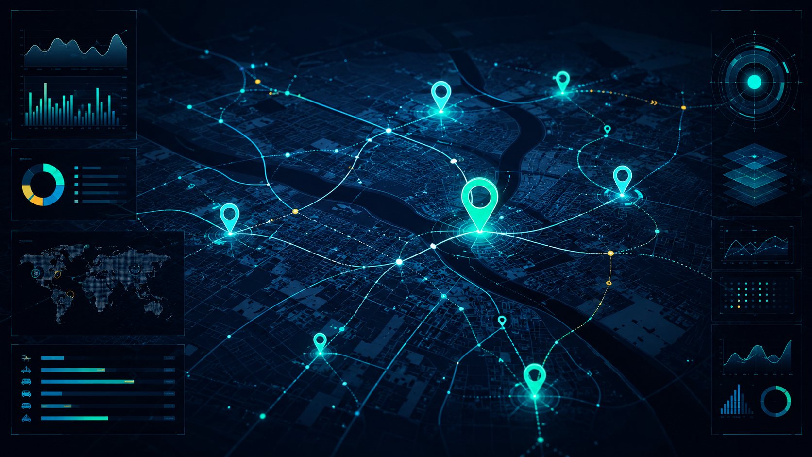
Understand where assets, incidents, teams and risks are located.
Through Gisify, Pebble Byte helps organisations create a spatial decision layer for distributed operations—from core mapping and asset dashboards to predictive analytics, anomaly detection and workflow automation.
- GIS data and spatial context integration
- Asset, facility and field-operation visibility
- Executive and operational dashboards
- AI forecasting, prediction and anomaly detection
- IoT, mobile and industry-specific modules
- Secure-by-design and regulated-environment considerations
Aplikasi perniagaan yang berkaitan
Transport & Logistics
Route monitoring, resilience dashboards, corridor visibility and disruption mapping.
Utilities & Infrastructure
Asset mapping, outage visibility, maintenance planning and continuity support.
Environmental & Sustainability Intelligence
Climate and environmental-risk mapping, land-use insight and operational sustainability dashboards. Scope depends on data and selected modules.